NextMaps
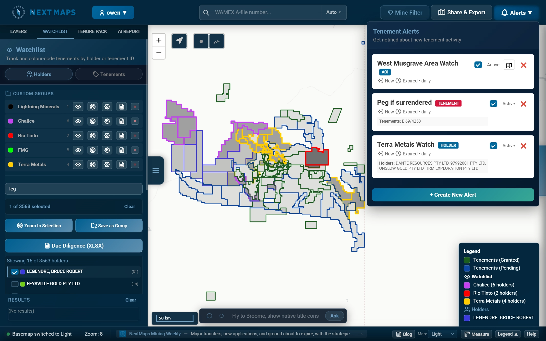
NextMaps is a spatial intelligence platform purpose-built for the Western Australian mineral exploration industry, bringing together tenement, geological, geochemical, geophysical, drilling, historical exploration and regulatory datasets in a single interactive mapping environment. By consolidating fragmented public data sources and enriching them with proprietary analysis, automated monitoring and reporting tools, NextMaps helps geologists, exploration companies, investors and tenement holders make faster, more informed decisions across the exploration lifecycle. The platform provides statewide visibility of live, pending and historical tenements, ownership and dealings, expenditure obligations, compliance deadlines, forfeiture applications and upcoming tenure events. Users can investigate geological settings, analyse historical exploration results, access millions of geochemical and drilling samples, identify prospective ground, assess neighbouring projects and evaluate exploration opportunities without manually navigating multiple government databases and GIS applications. NextMaps also offers automated tenement compliance monitoring, detailed tenure packs for due diligence, AI-assisted prospectivity reporting and portfolio-level intelligence to streamline technical assessments, acquisition screening and ongoing tenure management. An integrated exploration asset marketplace connects buyers and sellers, making it easier to discover available tenements, projects and exploration opportunities across Western Australia. Designed to make complex spatial and regulatory information more accessible and actionable, NextMaps combines mapping, data integration, exploration intelligence and workflow automation in one platform, helping reduce the time spent collecting and processing data so users can focus on geological interpretation, strategic decision-making and finding the next discovery.